




Emergency Response Applications
Rapid Deployment for Crises
Partner with us for emergency response support. Thermal imaging, real-time assessment, and tactical data delivery during critical situations.
5-minute deployment | 24/7 availability | Certified operators
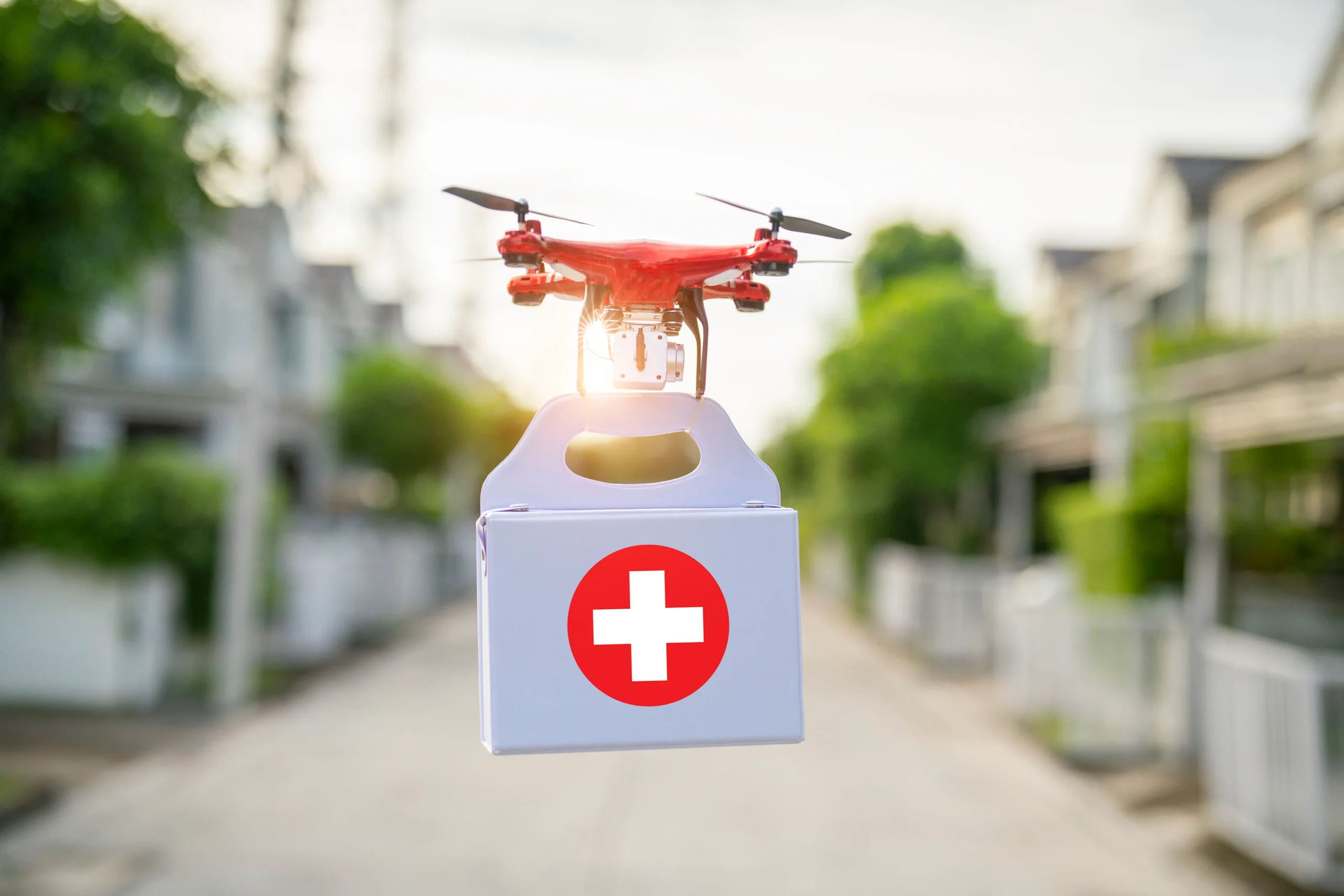
The Simple Model: Pay • Use • Benefit
Pay
Government-backed service agreements, zero standby cost.
Use
5-min deployment, thermal imaging, 24/7 availability.
Benefit
Faster response, better situational awareness, lives saved.
Response Scenarios
Wildfire Management
Real-time fire tracking and spread assessment to guide firefighting operations.
- Thermal hotspot mapping
- Fire boundary identification
- Smoke spread tracking
- Evacuation route planning
Structural Fire Response
Rapid building assessment and personnel safety during fire incidents.
- Building hot-zone mapping
- Hidden flame detection
- Roof/wall integrity check
- Tactical command support
Flood & Disaster
Fast assessment of affected areas and emergency accessibility mapping.
- Flood extent mapping
- Access road assessment
- Stranded area identification
- Resource allocation support
Search & Rescue
Aerial coverage for missing persons and ground team support.
- Large area rapid scanning
- Thermal person detection
- Vehicle location tracking
- Terrain navigation aid
Operational Capabilities
Thermal Imaging
Range -20°C to +600°C for heat signature detection
Night Operations
Full capability in darkness using thermal & night vision
Live Feed
Real-time video streaming to command centers & teams
Quick Deploy
Flight-ready within 5 minutes of call
Large Coverage
2-3 km range with extended flight capabilities
Secure Link
Encrypted communications for sensitive operations
Emergency Timeline
Call In
Contact made to operations center
Prep
Equipment activated, pilot briefed (2-3 min)
Deploy
Drone in air, streaming (5 min total)
Support
Real-time data for decision making
Partnership & Integration
Custom Enterprise Contract
We work directly with:
Government Agencies
District administration | Fire departments | Disaster management authorities | Emergency services
Our Commitment
✓ Pre-positioned ready teams across Bihar
✓ Zero-cost standby arrangements
✓ Government SLA-backed response
✓ Training for your teams included
✓ Equipment maintenance & upgrades
Next Steps
Let's discuss integration with your emergency response system. We'll customize deployment, training, and SLA terms based on your needs.
Partner for Emergency Response
Contact government agencies and emergency services to establish drone support