



Survey & Mapping Drones
Professional Land Intelligence
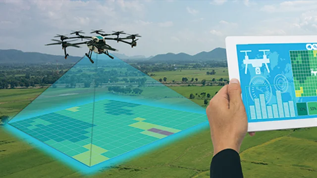
Get accurate 3D maps, orthomosaic images, and volumetric measurements in 24-48 hours. Reduce surveying time by 80%.
±2cm horizontal accuracy | 500+ acres per flight
Key Features
4K Imaging
High-resolution orthomosaic and 3D point cloud generation
3D Modeling
Complete terrain model with precise elevation data
Volume Calculation
Accurate stockpile & excavation measurements
Professional Reports
Detailed survey reports with geospatial analysis
Fast Turnaround
24-48 hour delivery with complete data package
Secure Data
Confidential handling & GIS-compatible formats
Technical Specifications
Survey Capabilities
Accuracy: ±2cm horizontal, ±5cm vertical
Coverage: 500+ acres per flight
Resolution: 2cm GSD (ground sample distance)
Flight Time: 25-35 minutes per mission
Data Format: GeoTIFF, DEM, LAZ point clouds
Delivery: 24-48 hours with report
Ideal For
✓ Real estate & property mapping
✓ Construction site monitoring
✓ Mining & quarry surveys
✓ Agricultural land assessment
✓ Infrastructure planning
✓ Change detection analysis
Common Applications
Real Estate Documentation
Aerial photos and maps for property listings, land transactions, and boundary documentation.
Construction Progress
Monthly aerial captures to track project progress and identify issues early.
Stockpile Inventory
Accurate volume calculations for mining, construction materials, and aggregate management.
Environmental Monitoring
Long-term change detection for land use, erosion, and restoration projects.
Request Your Survey Today
Professional aerial mapping with fast turnaround & certified results